Maps
The Collaboratory’s mapping efforts have produced some of the first complete maps for cemeteries whose original records are incomplete or do not survive.
Our process is community-engaged, and coordinated by the Spatial Analysis Laboratory at the University of Richmond. The Lab, housed in the Department of Geography and the Environment, supports GIS, spatial analysis, and remote sensing courses, where students learn the underlying principles of spatial analysis and technology. VCU’s Wilder School for Government and Public Affairs, with its Geographic Information Systems program, has also offered support.
In all our projects, we seek to make the results freely and publicly available to serve descendants, community partners, and researchers. We also hope to encourage other initiatives elsewhere by showcasing our approach to collaboration and technological tools.
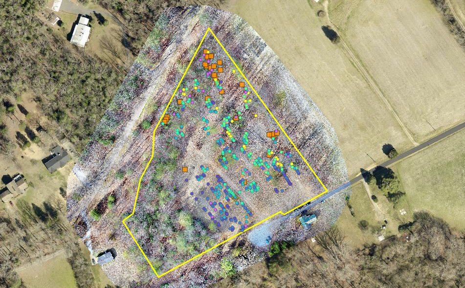
The Collaboratory’s online map of the Barton Heights Cemeteries offers the first comprehensive account of surviving markers at the grounds, which include the earliest African American memorials in the state. Work on the project began in 2018 and continued through 2023.
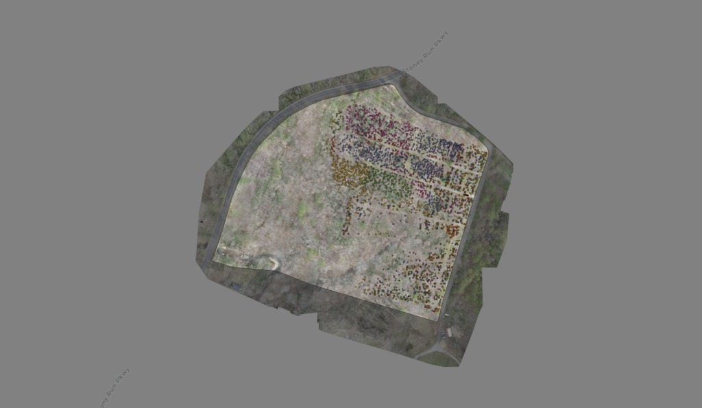
Years in the making, the Collaboratory’s online map of East End Cemetery pinpoints the locations of more than 3,000 grave markers using GIS technology and drone imagery. No earlier plot map of the cemetery survives. Begun in partnership with the Friends of East End Cemetery in 2018 and released in 2020, the map is updated as new markers are uncovered.
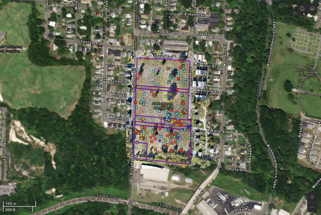
This digital map of St. James Community Cemetery in eastern Henrico County was produced by the Collaboratory in partnership with the Star of Benevolence Society which stewards the historic site. Related materials offered by this web resource include photo galleries of the cemetery’s grave markers and the restoration efforts, as well as 3D models of many markers. It was completed in 2024.
Additionally, we note the useful digital map of Woodland Cemetery, produced by students at Henrico County’s Deep Run High School in 2022.
In 2023, the Collaboratory produced an interactive digital map for the Oliver Cemetery in Caroline County, Virginia. Also known as the site of the “Old Oliver-Wright Place,” the cemetery holds over 100 burials dating from the late nineteenth century.
Imaging
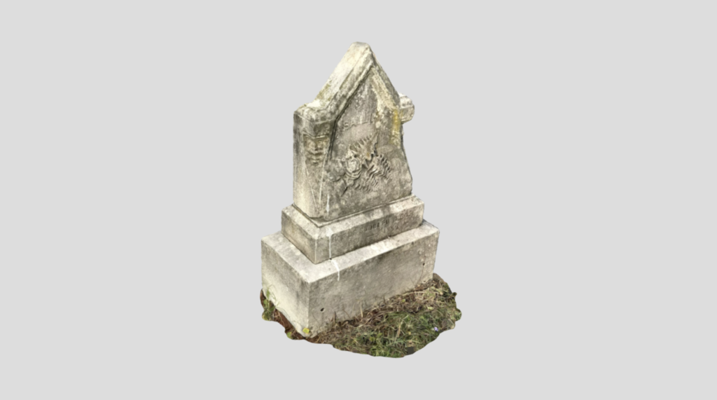
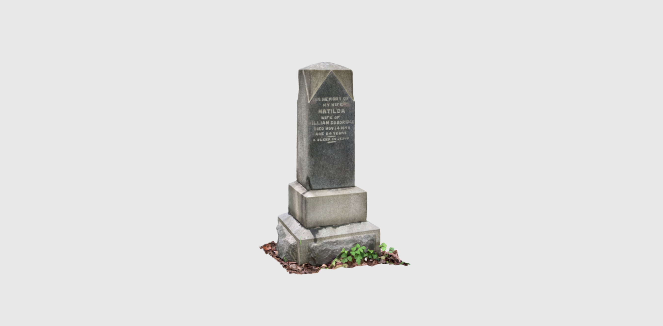
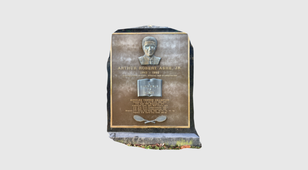
VCU’s Virtual Curation Laboratory and UR Archaeology have produced 3D scans of hundreds of grave markers across Richmond’s cemeteries. 3D scans, acquired with readily available tools like tablet computers, offer the ability to capture complete views of fragile objects like grave markers, monuments, and memorial items. The scans offer a useful way to engage with these objects remotely, a particular advantage for those with mobility challenges. The scans can also be “printed” to create replicas available for handling and distribution. And they aid in the conservation or restoration of historical sites and artifacts. Examples from our partners include:
Printmaking
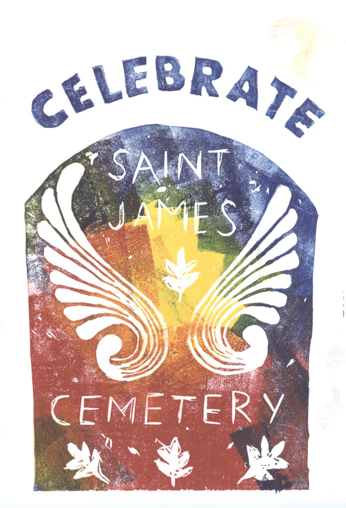
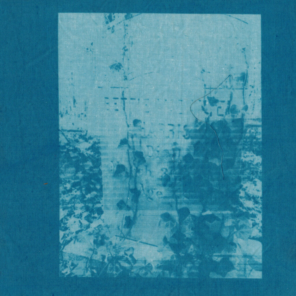
The Collaboratory has engaged multimedia artists in helping visualize elements of the cemeteries. These engagements include works by Jen Thomas, Book Arts Program Director for the University of Richmond’s Boatwright Library, and Oakwood Arts, whose students produced cyanotypes (sun prints).
